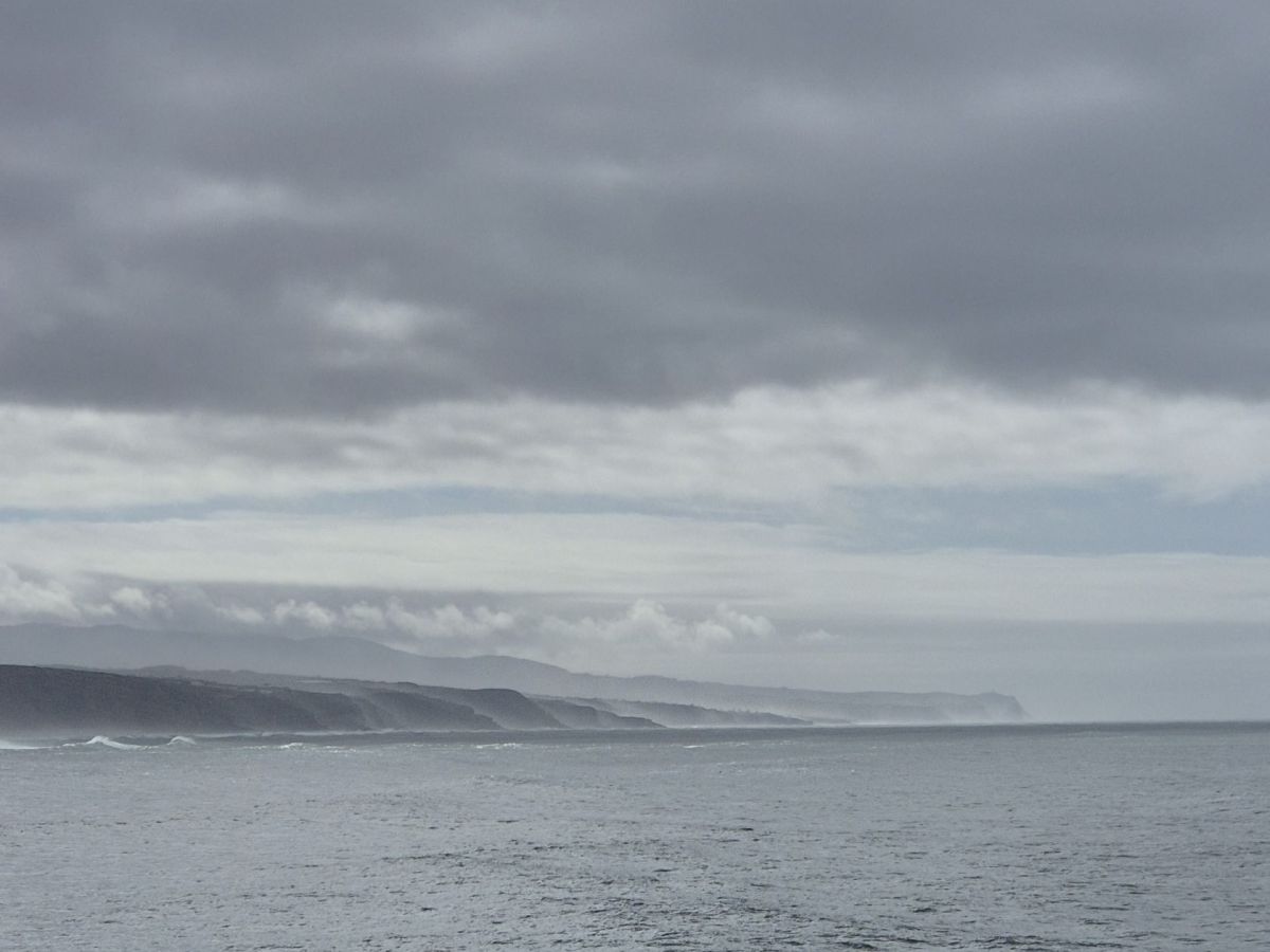
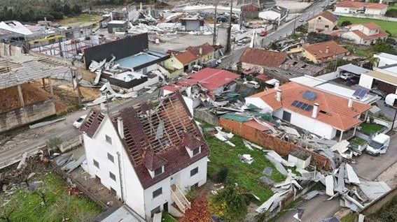
The unsettled conditions are expected to continue through the weekend, culminating in a new storm on Sunday that will bring heavy, widespread rain, particularly during the early hours of Monday
The first day of February, Saturday, should bring temporary relief. From 7 am onwards, rainfall is expected to decrease significantly, making this one of the least rainy days in recent weeks. However, the improvement will be brief and does not represent a lasting stabilisation of the weather.
Early Sunday morning, a new frontal system will bring rain back to mainland Portugal. From late afternoon, around 5pm, a new storm will begin to be felt, initially in the Algarve, then spreading to other regions of the country.
Although the new storm arrives on Sunday, the peak impact is expected on Monday morning, with heavy, widespread rain and stronger winds. The predicted atmospheric configuration reveals a well-defined low-pressure core northwest of the Iberian Peninsula, with very close isobars, indicating a pronounced pressure gradient.
This situation is creating strong west-southwest winds that will carry large amounts of moisture from the Atlantic into mainland Portugal. Rain is expected to fall in organised, heavy bands across much of the country, with the heaviest downpours along the coast and in the northern and central regions, marking the start of another period of severe weather.


